Precision As-Built Deliverables for the AEC Industry
We capture, process, and deliver accurate digital assets architects, engineers, and builders can rely on — ready for Revit, AutoCAD, SketchUp, or BIM 360
Overview
Every project begins with reliable site data. Virtual Captures provides measurable digital twins and complete as-built deliverables — not raw scans — within 10–14 business days.
Each package includes browser-based access, verified measurements, and exports compatible with your preferred design software.
Typical Timelines
Deliverable Format Average Turnaround
Digital Twin with Measurement
Web Viewer
2–3 days
2D Floor Plans & Elevations
PDF / DWG
5–7 days
Revit Model
RVT
10–14 days
AutoCAD Drawings
DWG
10–14 days
SketchUp Model
SKP
10–14 days
BIM 360 Point Cloud
E57
10–14 days
Actual times depend on building size and level of detail
Core Deliverables
Revit (.rvt)
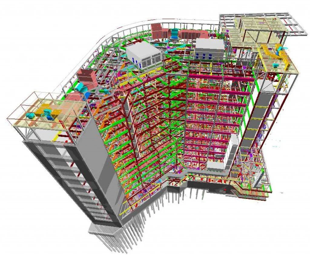
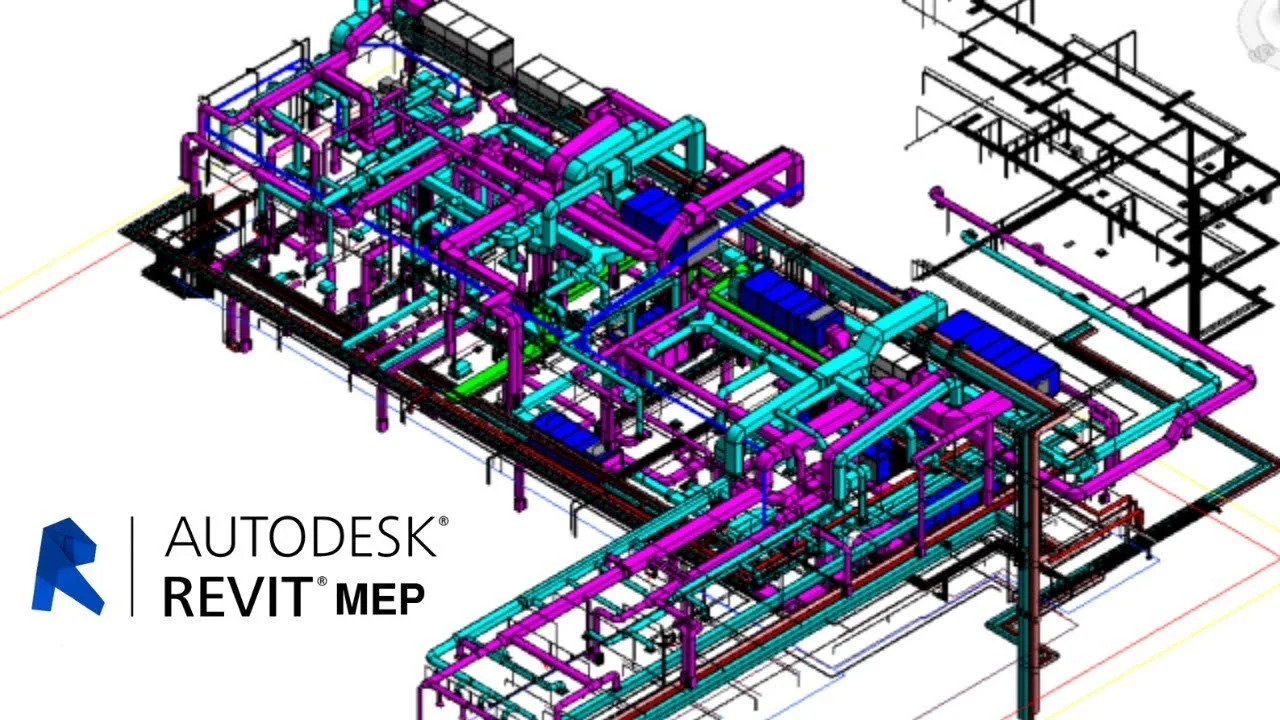
Our team converts LiDAR capture into a native Revit model built to your level of detail requirements (LOD 200–300).
Walls, windows, doors, floors, and structural elements are modeled for direct use in design or coordination.
Ideal for renovations, adaptive reuse, and facility documentation.
AutoCAD (.dwg)
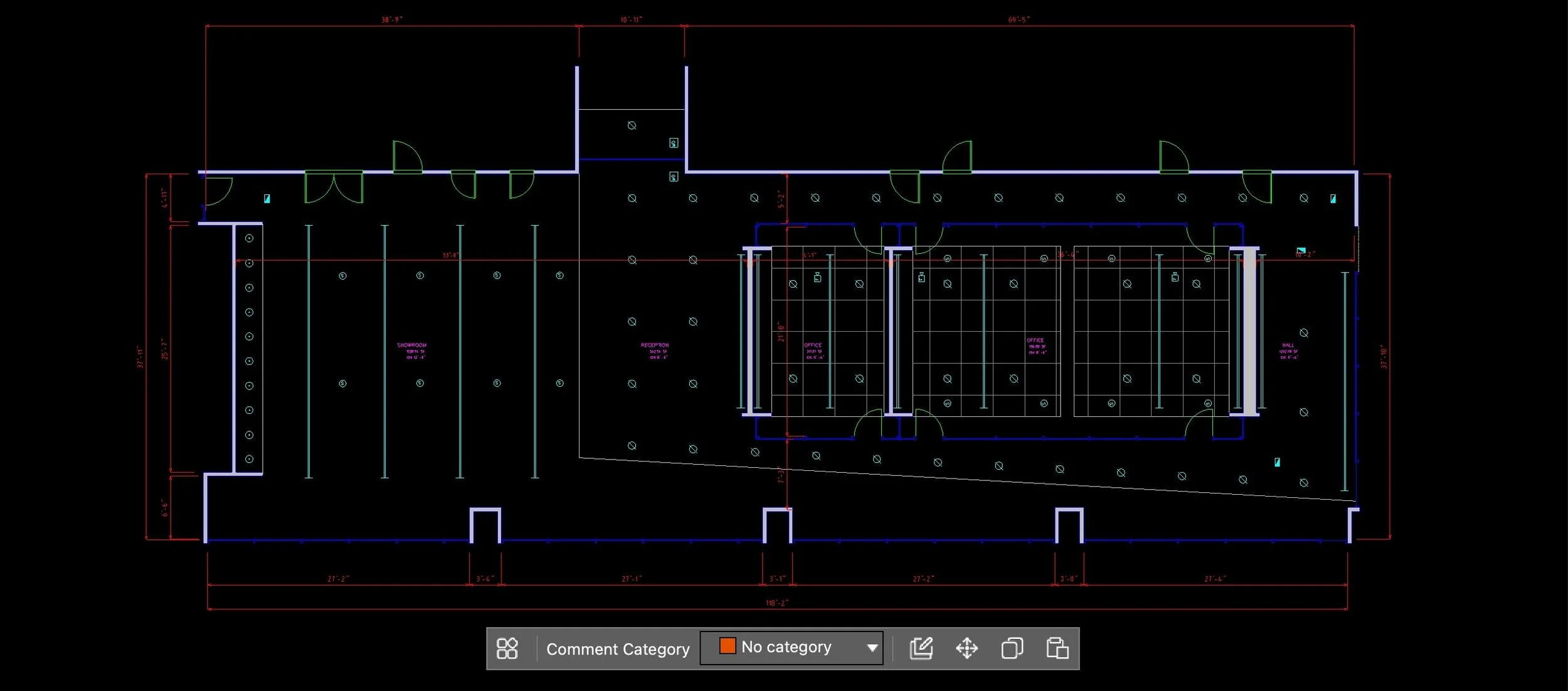
Receive clean 2D plans, sections, and elevations produced directly from the scan data.
Layers and line weights follow AEC standards for immediate integration into your drawing set.
Perfect for early schematic or permit work.
SketchUp (.skp)
We generate lightweight 3D geometry for conceptual design or client visualization.
Models maintain real-world dimensions for accurate massing and layout studies.
BIM 360 / Point Cloud (.e57)
For teams working in collaborative BIM environments, we provide registered point-clouds that plug into BIM 360, Navisworks, or Revit.
Use them as a reference to verify field conditions or coordinate trades.
2D Floor Plans and Elevations
Quick-turn PDF and DWG drawings suitable for documentation, estimating, and space planning.
Delivered alongside your digital twin within the standard two-week window.
Progress Captures
Schedule recurring scans to record construction progress or post-installation verification.
Each capture is time-stamped and measurable, creating a permanent visual record for QA/QC and claims
Workflow
Capture – On-site LiDAR scanning using Matterport Pro 3 (±1 cm accuracy).
Process – Our in-house technicians register, clean, and model the data.
Deliver – As-builts and digital twin delivered within 10–14 days.
Collaborate – Access the model online, measure remotely, or integrate directly into your BIM platform.
Why It Matters
Replace weeks of field measuring with a single site visit.
Start design on verified geometry.
Reduce RFIs and coordination errors.
Keep clients and contractors aligned with measurable visual context


